MARINE COMMUNICATION
Introduction
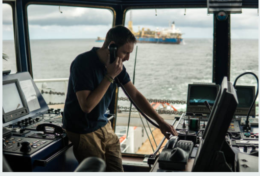
Communication between ships to shore and communication between ships themselves have been heavyily reliant upon efficient data transfer. Over time these processes have evolved drastically.
There was a time when semaphores and flags had been used to communicate at sea. With the invention of the Radio, the way in which people generated, collected and transmitted large volumes of data at sea changed forever. Vessels would be outfitted with radios capable of sending distress signals to other ships and even to those that are on shore. SOS is a Morse code distress signal, used internationally, that was originally established for maritime use. With further innovation in these technologies, a radio officer was no longer required for operations.

In recent years onboard systems use the help of shore stations and satellites. VHF radio allowed for seamless correspondence between ships and Digital Selective Calling allowed for remote control commands. It had now been possible to transmit and receive distress signals, send out scheduled messages and even place emergency calls that would all contribute to greatly improve the safety. Today these controllers live up to Safety of Life at Sea requirements.
The types of communication system in use and on board can vary based upon the area the ship is expected to navigate through. The diverse radio correspondence frameworks are categorized with respect to these zones.
A1– Approximately 20-30 nautical miles from the coast and covered by at least a VHF coast radio station that allows for continuous DSC alerting. A NAVTEX receiver along with a VHF and DSC is sufficient equipment for this zone of activity.
A2– Area over 400 nautical miles from the coast. It can reach out up to 100 nautical miles seaward yet does not include area categorized as A1. Additional Gear used here include a DSC, radiotelephone (MF radio range).
A3– This zone excludes the A1 and A2 territories, however, is within 70 degrees north and 70 degrees south scope. It is inside the INMARSAT geostationary satellite range permitting alarms to be always accessed. A high recurrence radio and/or INMARSAT as an arrangement of accepting Maritime Safety information in addition to the hardware required for A1 and A2 areas.


A4– These are zones outside ocean territories A1, A2 and A3. Polar regions North and South 70 degrees of scope can be classified into this type. Equipment used in addition are HF radio assistance.
The IMO requires two coast stations for each sea locale. All ships in todays date are equipped with satellite terminals for Ship Security Alerts System. With the recent innovations and integrations of 5G, Wi-Fi, and newer satellites a transformation in frameworks are evident. Radio-frequency identification tags allow for the tracking for cargoes as well as structural and machinery components. Autonomous operative processes and real-time decision making has greatly improved, and management has become more feasible. This has also allowed for the shipping footprint along the journey to be scrutinized.
